Category:Maps of the Galápagos Islands
Jump to navigation
Jump to search
Subcategories
This category has the following 18 subcategories, out of 18 total.
*
B
- Maps of Bartolomé Island (2 F)
E
F
- Maps of Fernandina Island (3 F)
- Maps of Floreana Island (6 F)
G
- Maps of Genovesa Island (5 F)
I
S
- Maps of Santiago (Galápagos) (7 F)
Pages in category "Maps of the Galápagos Islands"
This category contains only the following page.
Media in category "Maps of the Galápagos Islands"
The following 26 files are in this category, out of 26 total.
-
 Acaroceras galapagoensis Verbreitung.jpg 1,422 × 981; 165 KB
-
 Bulimulus Colonization of Galapagos.png 1,685 × 1,277; 8.21 MB
-
 Buteo galapagoensis distribution.PNG 233 × 232; 4 KB
-
-
 Galapagos Bathymetric.jpg 792 × 612; 152 KB
-
 Galapagos Isabels highlighted.svg 280 × 326; 35 KB
-
 Galapagos Island Names (alternate font).png 260 × 344; 27 KB
-
 Galapagos Island Names hindi.png 280 × 370; 17 KB
-
 Galapagos Island Names.png 280 × 370; 4 KB
-
 Galapagos map of islands (flat).png 2,160 × 2,160; 17.81 MB
-
 Galapagos province.png 1,080 × 607; 7 KB
-
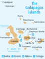
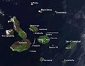
 Galapagos Simple Map.png 589 × 471; 37 KB
-
 Galapagos tortoise distribution Line diagram.png 1,651 × 1,167; 300 KB
-
 Galapagos tortoise distribution map (in pink).jpg 448 × 377; 47 KB
-
 Galapagos tortoise distribution map.jpg 448 × 377; 63 KB
-
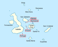
 Galapagos+map.jpg 750 × 733; 28 KB
-
 Galapagos-Nimm--w.jpg 674 × 525; 70 KB
-
 Galapagos-satellite-esislandnames.jpg 674 × 525; 48 KB
-
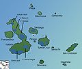
 Galapagos1.png 493 × 455; 53 KB
-
 Geochelone nigra hábitat.png 773 × 715; 18 KB
-
 Geography of Ecuador within South America.jpg 1,159 × 681; 304 KB
-
 IslaGuyFawkes.png 203 × 141; 19 KB
-

-
 Orthographic projection centred over the Galapagos.png 488 × 487; 18 KB
-
-
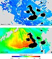
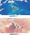
 SO2 Galapagos 20051101.jpg 1,294 × 1,251; 224 KB


.png)


.png)


.jpg)


