Category:Locator maps of old administrative divisions of Australia
Jump to navigation
Jump to search
Media in category "Locator maps of old administrative divisions of Australia"
The following 7 files are in this category, out of 7 total.
-
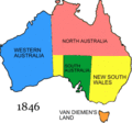 Australian states history 06.gif 300 × 279; 9 KB
-
 Australian states history 16.png 300 × 279; 11 KB
-
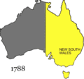 Australian states history.gif 300 × 279; 82 KB
-
 LocationTerritoryNewGuinea.png 250 × 158; 6 KB
-
 LocationTerritoryPapua.png 250 × 158; 6 KB
-
 LocationPapuaNewGuinea.png 250 × 115; 5 KB
-
 Territory of Papua.png 1,000 × 1,000; 174 KB


