File:Timočka Krajina.png
Jump to navigation
Jump to search

Size of this preview: 547 × 600 pixels. Other resolutions: 219 × 240 pixels | 582 × 638 pixels.
Original file (582 × 638 pixels, file size: 115 KB, MIME type: image/png)
Captions
Captions
Add a one-line explanation of what this file represents
Summary[edit]
| Description |
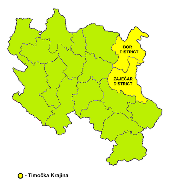
English: Map of Timočka Krajina. Српски / srpski: Mapa Timočke Krajine. |
| Date | |
| Source | Own work |
| Author | PANONIAN |
Source and licence[edit]

|
This map has been uploaded by Electionworld from en.wikipedia.org to enable the |
Self-made map by PANONIAN
| This work has been released into the public domain by its author, PANONIAN. This applies worldwide. In some countries this may not be legally possible; if so: |
File history
Click on a date/time to view the file as it appeared at that time.
| Date/Time | Thumbnail | Dimensions | User | Comment | |
|---|---|---|---|---|---|
| current | 09:11, 16 May 2014 | | 582 × 638 (115 KB) | PANONIAN (talk | contribs) | Reverted to version as of 21:37, 21 December 2006 - I will upload new version under separate filename |
| 15:35, 7 August 2008 |  | 377 × 371 (17 KB) | Milosevo (talk | contribs) | {{Information |Description= |Source= |Date= |Author= |Permission= |other_versions= }} | |
| 21:37, 21 December 2006 |  | 582 × 638 (115 KB) | Electionworld (talk | contribs) | {{ew|en|PANONIAN}} Self-made map by PANONIAN {{PD-user|PANONIAN}} Category:Maps of Serbia |
You cannot overwrite this file.
File usage on Commons
The following 2 pages use this file:
- Atlas of Serbia
- File:Timocka krajina.png (file redirect)
File usage on other wikis
The following other wikis use this file:
- Usage on de.wikipedia.org
- Usage on el.wikipedia.org
- Usage on fr.wikipedia.org
- Usage on it.wikipedia.org
- Usage on nn.wikipedia.org
- Usage on sv.wikipedia.org