File:Struktur Eidgenossenschaft 1474.png

Original file (2,820 × 1,712 pixels, file size: 830 KB, MIME type: image/png)
Captions
Captions
|
| Description |
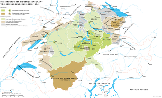
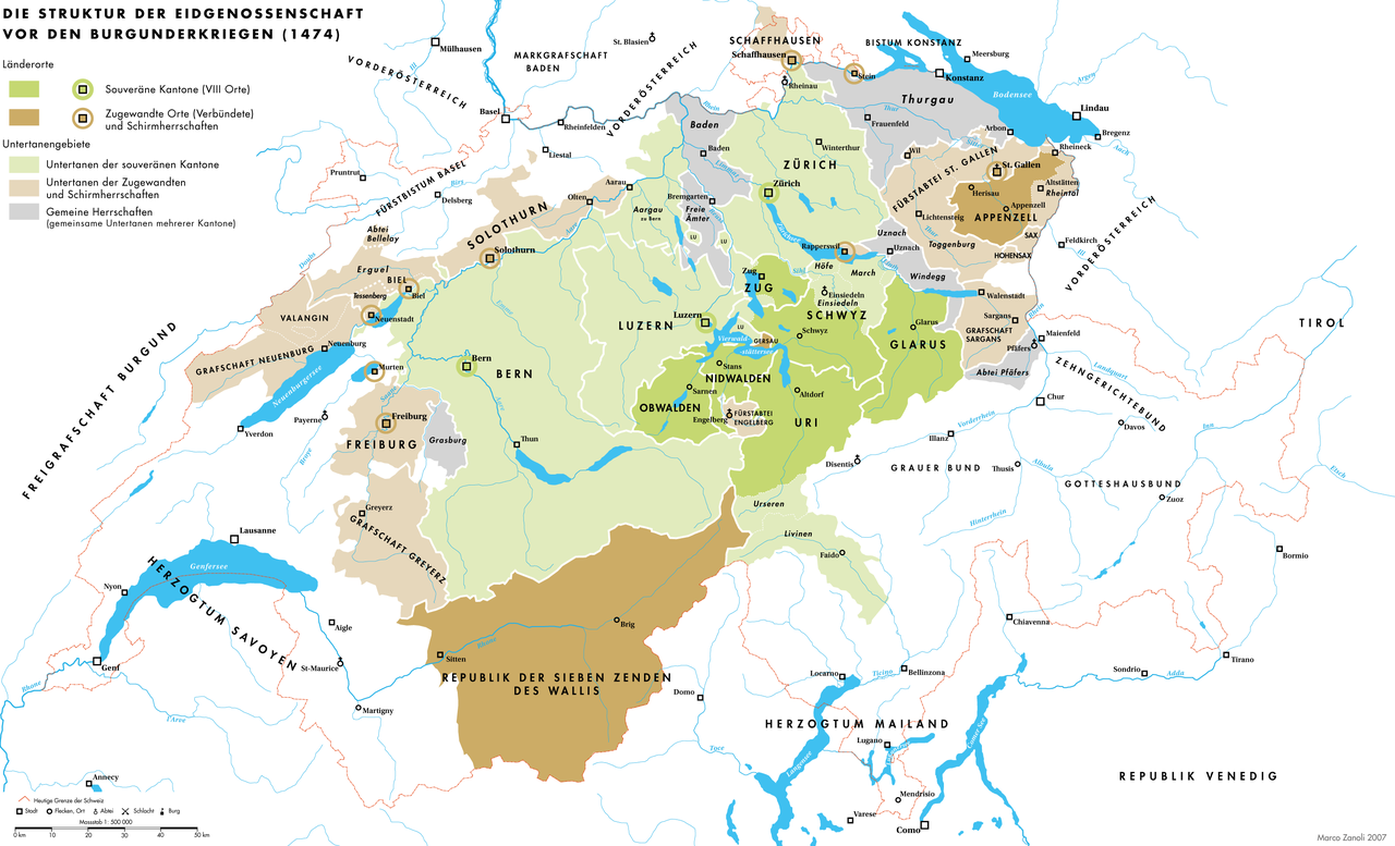
Deutsch: Die Struktur der Eidgenossenschaft der Acht Orte vor den Burgunderkriegen (1474) |
| Date | 10.12.2007 |
| Source | Own work |
| Author | Marco Zanoli Sidonius |
| Other versions |
|


You may use my work outside wikipedia for free as long as you name me as the author. If you would like to use my work in a print medium, please send me a specimen copy.
Contact me if you have questions regarding the license or if you want individual changes to the map (marco.zanoli at hotmail.ch). This file is licensed under the Creative Commons Attribution-Share Alike 4.0 International license. Attribution: Marco Zanoli
|
File history
Click on a date/time to view the file as it appeared at that time.
| Date/Time | Thumbnail | Dimensions | User | Comment | |
|---|---|---|---|---|---|
| current | 17:52, 21 October 2012 | | 2,820 × 1,712 (830 KB) | Sidonius (talk | contribs) | -Fehler in Legend behoben -Schweizer Grenze rundumlaufend -höhere Auflösung, png-Fehler behoben |
| 05:05, 4 July 2010 |  | 2,500 × 1,518 (860 KB) | DcoetzeeBot (talk | contribs) | Remove watermark, add author and license data to image metadata, decrease filesize with pngcrush | |
| 22:00, 10 December 2007 |  | 2,500 × 1,518 (1.04 MB) | Sidonius (talk | contribs) | update and correction | |
| 21:42, 10 December 2007 |  | 2,500 × 1,518 (1.05 MB) | Sidonius (talk | contribs) | {{Information |Description= |Source=self-made |Date= |Author= Sidonius |Permission= |other_versions= }} {{Attribution sidonius}} Category:Maps of the history of Switzerland |
You cannot overwrite this file.
File usage on Commons
The following 9 pages use this file:
File usage on other wikis
The following other wikis use this file:
- Usage on als.wikipedia.org
- Usage on de.wikipedia.org
- 1474
- Acht Alte Orte
- Benutzer:Sidonius
- Portal:Schweiz/Galerie
- Entstehung und Wachstum der Alten Eidgenossenschaft
- Wikipedia:Exzellente Bilder/Karten und Satellitenbilder
- Schweizer Habsburgerkriege
- Geschichte der Stadt St. Gallen
- Portal:Schweiz/Galerie/Bilder
- Wikipedia:Kandidaten für exzellente Bilder/Archiv2009/3
- Datei:Struktur Eidgenossenschaft 1474.png
- Usage on fr.wikipedia.org