File:Quirinus Kapelle BW 2016-09-11 13-16-03.jpg
Jump to navigation
Jump to search

Size of this preview: 347 × 599 pixels. Other resolutions: 139 × 240 pixels | 278 × 480 pixels | 445 × 768 pixels | 593 × 1,024 pixels | 1,186 × 2,048 pixels | 3,371 × 5,819 pixels.
Original file (3,371 × 5,819 pixels, file size: 5.77 MB, MIME type: image/jpeg)
Captions
Captions
Add a one-line explanation of what this file represents
Summary[edit]
| Description |
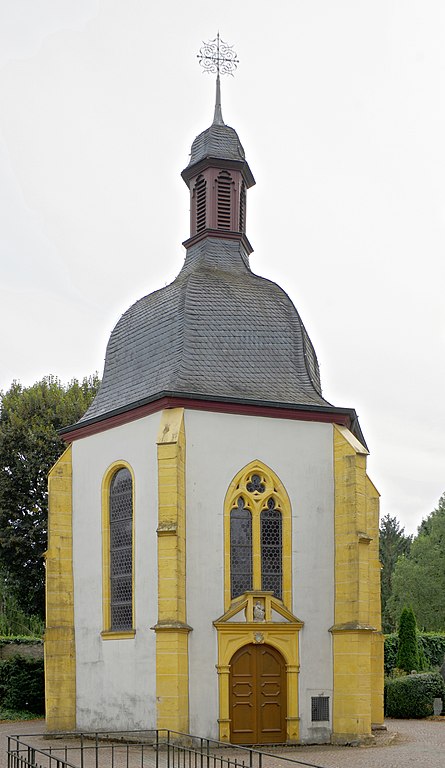
Trier, Quirinus Kapelle auf dem Friedhof St. Matthias
|
|||
| Date | ||||
| Source | Own work | |||
| Author | Berthold Werner | |||
| Other versions | http://www.bildindex.de/document/obj20079592?part=0&medium=fm1542055a |

| Camera location | | View this and other nearby images on: OpenStreetMap |
|---|
Licensing[edit]
I, the copyright holder of this work, hereby publish it under the following license:
This file is licensed under the Creative Commons Attribution-Share Alike 3.0 Unported license.
Attribution: Berthold Werner
- You are free:
- to share – to copy, distribute and transmit the work
- to remix – to adapt the work
- Under the following conditions:
- attribution – You must give appropriate credit, provide a link to the license, and indicate if changes were made. You may do so in any reasonable manner, but not in any way that suggests the licensor endorses you or your use.
- share alike – If you remix, transform, or build upon the material, you must distribute your contributions under the same or compatible license as the original.
| Annotations | This image is annotated: View the annotations at Commons |


|
This image has been assessed under the valued image criteria and is considered the most valued image on Commons within the scope: Quirinuskapelle (Trier), from west. You can see its nomination here. |
File history
Click on a date/time to view the file as it appeared at that time.
| Date/Time | Thumbnail | Dimensions | User | Comment | |
|---|---|---|---|---|---|
| current | 12:56, 23 May 2017 | | 3,371 × 5,819 (5.77 MB) | Berthold Werner (talk | contribs) | heller |
| 18:46, 13 September 2016 |  | 3,424 × 5,932 (5.15 MB) | Berthold Werner (talk | contribs) | VicuñaUploader 1.23 |
You cannot overwrite this file.
File usage on Commons
The following 3 pages use this file: