File:Plano topografico do continente do Rio Grande e da Ilha de Santa Catharina.png
Jump to navigation
Jump to search

Size of this preview: 800 × 374 pixels. Other resolutions: 320 × 149 pixels | 640 × 299 pixels | 1,533 × 716 pixels.
Original file (1,533 × 716 pixels, file size: 2.55 MB, MIME type: image/png)
Captions
Captions
Add a one-line explanation of what this file represents
Summary[edit]
{{Information
|description=
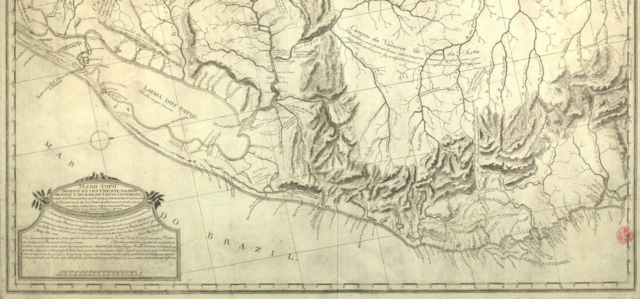
Português: Recorte do "Plano topografico do continente do Rio Grande e da Ilha de Santa Catharina" (c. 1797), elaborado por José Corrêa Rangel de Bulhões
|date=2023-12-19 |source=Biblioteca Nacional Digital |author=José Corrêa Rangel de Bulhões
Licensing[edit]
I, the copyright holder of this work, hereby publish it under the following license:
This file is licensed under the Creative Commons Attribution-Share Alike 4.0 International license.
- You are free:
- to share – to copy, distribute and transmit the work
- to remix – to adapt the work
- Under the following conditions:
- attribution – You must give appropriate credit, provide a link to the license, and indicate if changes were made. You may do so in any reasonable manner, but not in any way that suggests the licensor endorses you or your use.
- share alike – If you remix, transform, or build upon the material, you must distribute your contributions under the same or compatible license as the original.
File history
Click on a date/time to view the file as it appeared at that time.
| Date/Time | Thumbnail | Dimensions | User | Comment | |
|---|---|---|---|---|---|
| current | 16:22, 19 December 2023 | | 1,533 × 716 (2.55 MB) | Historiadorpúblico (talk | contribs) | Uploaded while editing "José Corrêa Rangel de Bulhões" on pt.wikipedia.org |
You cannot overwrite this file.
File usage on Commons
There are no pages that use this file.
File usage on other wikis
The following other wikis use this file:
- Usage on pt.wikipedia.org