File:North Ossetia location map.svg
Jump to navigation
Jump to search

Size of this PNG preview of this SVG file: 550 × 599 pixels. Other resolutions: 220 × 240 pixels | 441 × 480 pixels | 705 × 768 pixels | 940 × 1,024 pixels | 1,881 × 2,048 pixels | 1,000 × 1,089 pixels.
Original file (SVG file, nominally 1,000 × 1,089 pixels, file size: 41 KB)
Captions
Captions
Add a one-line explanation of what this file represents
Summary[edit]
| Description |
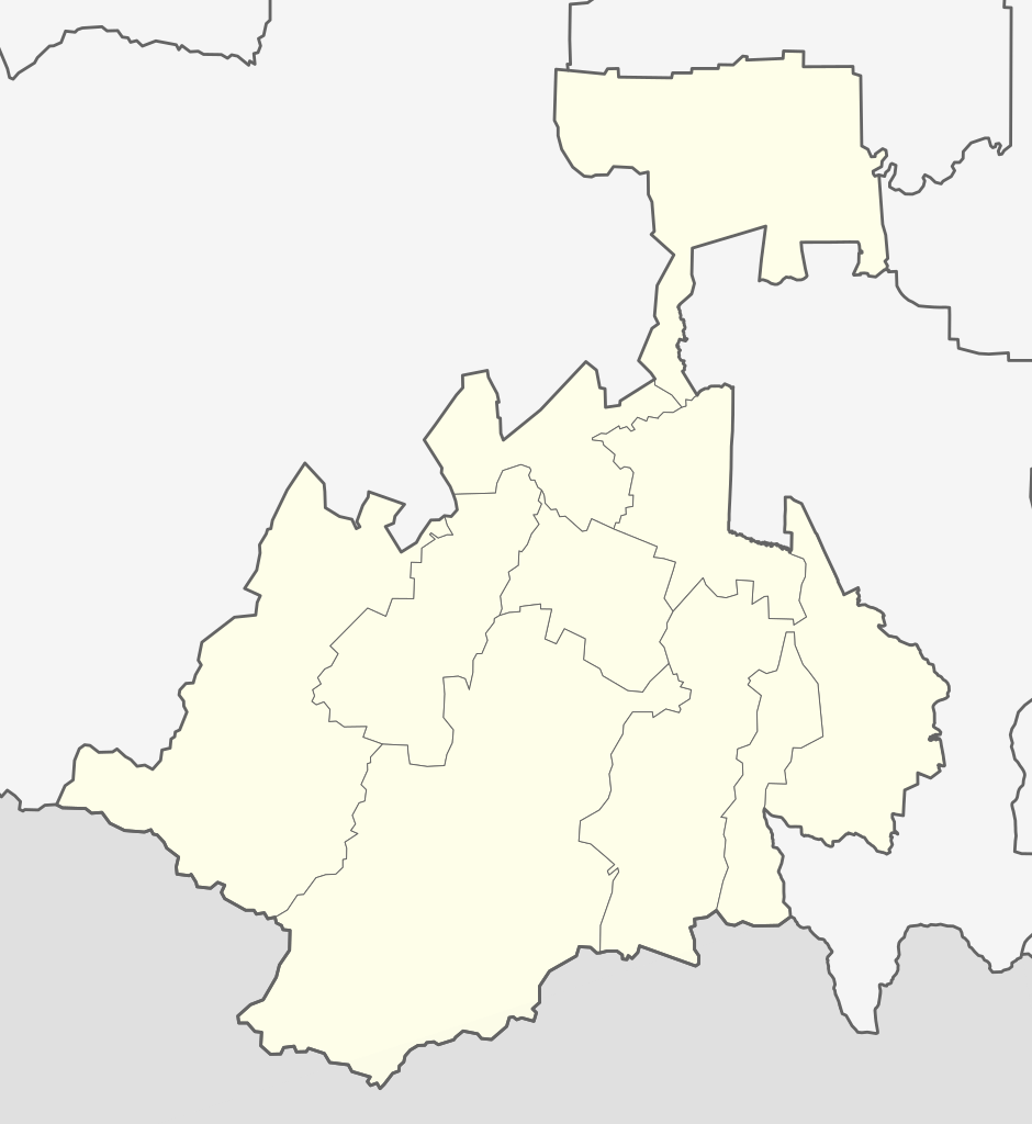
English: North Ossetia location map |
| Date | |
| Source | Own work |
| Author | Soslanx |
Licensing[edit]
I, the copyright holder of this work, hereby publish it under the following licenses:
This file is licensed under the Creative Commons Attribution-Share Alike 3.0 Unported license.
- You are free:
- to share – to copy, distribute and transmit the work
- to remix – to adapt the work
- Under the following conditions:
- attribution – You must give appropriate credit, provide a link to the license, and indicate if changes were made. You may do so in any reasonable manner, but not in any way that suggests the licensor endorses you or your use.
- share alike – If you remix, transform, or build upon the material, you must distribute your contributions under the same or compatible license as the original.

|
Permission is granted to copy, distribute and/or modify this document under the terms of the GNU Free Documentation License, Version 1.2 or any later version published by the Free Software Foundation; with no Invariant Sections, no Front-Cover Texts, and no Back-Cover Texts. A copy of the license is included in the section entitled GNU Free Documentation License. |
You may select the license of your choice.
File history
Click on a date/time to view the file as it appeared at that time.
| Date/Time | Thumbnail | Dimensions | User | Comment | |
|---|---|---|---|---|---|
| current | 14:38, 22 February 2020 | | 1,000 × 1,089 (41 KB) | Takhirgeran Umar (talk | contribs) | уточнение |
| 13:09, 28 November 2011 |  | 1,410 × 1,532 (63 KB) | David1010 (talk | contribs) | new | |
| 04:53, 23 April 2010 |  | 1,410 × 1,532 (65 KB) | Iguacu (talk | contribs) | fixes | |
| 19:00, 22 April 2010 |  | 1,410 × 1,532 (65 KB) | Iguacu (talk | contribs) | + borders of territories administrated by Vladikavkaz City. | |
| 11:15, 1 February 2010 |  | 1,410 × 1,532 (64 KB) | Iguacu (talk | contribs) | normalized colours | |
| 20:43, 26 November 2009 |  | 1,410 × 1,532 (70 KB) | Soslanx (talk | contribs) | ||
| 20:40, 26 November 2009 |  | 1,410 × 1,532 (71 KB) | Soslanx (talk | contribs) | ||
| 20:25, 26 November 2009 |  | 1,410 × 1,532 (72 KB) | Soslanx (talk | contribs) | fixed | |
| 20:20, 26 November 2009 |  | 1,410 × 1,532 (72 KB) | Soslanx (talk | contribs) | {{Information |Description={{en|1=North Ossetia location map}} |Source=Own work |Author=Soslanx |Date=2009-11-26 |Permission= |other_versions= }} Category:North Ossetia-Alania |
You cannot overwrite this file.
File usage on Commons
The following 2 pages use this file:
File usage on other wikis
The following other wikis use this file:
- Usage on de.wikipedia.org
- Usage on es.wikipedia.org
- Usage on hu.wikipedia.org
- Usage on hy.wikipedia.org
- Usage on ka.wikipedia.org
- ბახფანდაგის უღელტეხილი
- ზეკარის უღელტეხილი
- მაილი
- მამისონის უღელტეხილი
- თარგი:პოზრუკა რუსეთი ჩრდილოეთ ოსეთი-ალანია
- როკის უღელტეხილი
- უილფათა
- წეის მყინვარი
- ზემო ლარსი
- ყარაუგომი
- მაილის მყინვარი
- ადაი-ხოხი
- ტეპლი
- არდონი (მდინარე)
- ალაგირი
- მცირე გეზე
- მიდაგრაბინი
- დიგორა
- კოლკის მყინვარი
- ქალაქი (ალაგირის რაიონი)
- ჩერმენი
- გენალდონი
- გიზელდონი
- Usage on nl.wikipedia.org
- Usage on nn.wikipedia.org
- Usage on ru.wikipedia.org
- Usage on uk.wikipedia.org