File:New York State Municipalities.svg
Jump to navigation
Jump to search

Size of this PNG preview of this SVG file: 512 × 391 pixels. Other resolutions: 314 × 240 pixels | 629 × 480 pixels | 1,006 × 768 pixels | 1,280 × 978 pixels | 2,560 × 1,955 pixels.
Original file (SVG file, nominally 512 × 391 pixels, file size: 4.71 MB)
Captions
Captions
Add a one-line explanation of what this file represents
Summary[edit]
| Description |
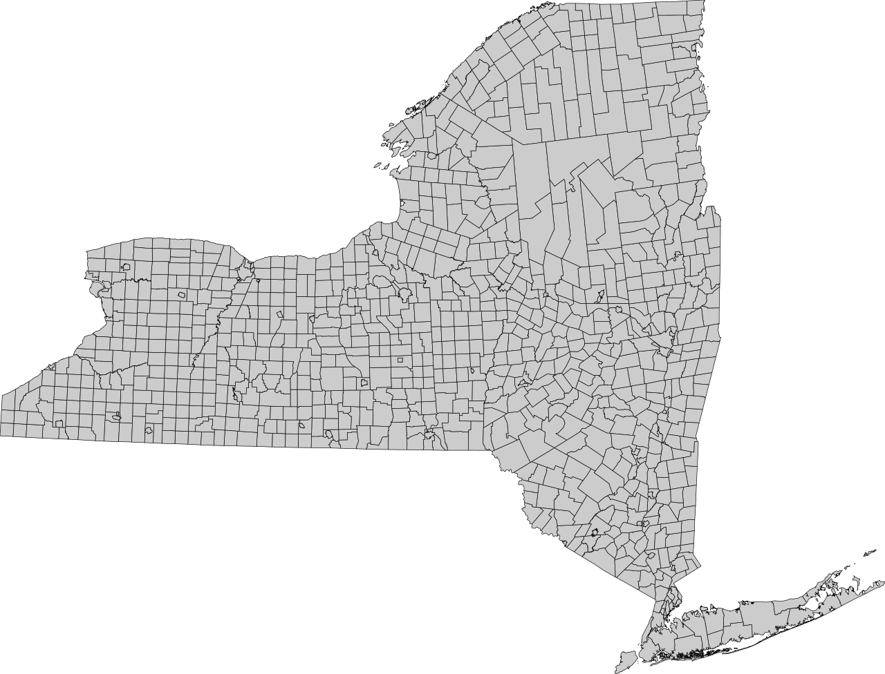
English: SVG map of (almost) all cities and towns in the state of New York. New York City is split into boroughs, and Sherrill is not included as it is administratively subordinate to the Town of Vernon. |
| Date | |
| Source | Own work |
| Author | Cranberry Products |
Licensing[edit]
I, the copyright holder of this work, hereby publish it under the following license:
This file is licensed under the Creative Commons Attribution-Share Alike 4.0 International license.
- You are free:
- to share – to copy, distribute and transmit the work
- to remix – to adapt the work
- Under the following conditions:
- attribution – You must give appropriate credit, provide a link to the license, and indicate if changes were made. You may do so in any reasonable manner, but not in any way that suggests the licensor endorses you or your use.
- share alike – If you remix, transform, or build upon the material, you must distribute your contributions under the same or compatible license as the original.
File history
Click on a date/time to view the file as it appeared at that time.
| Date/Time | Thumbnail | Dimensions | User | Comment | |
|---|---|---|---|---|---|
| current | 21:07, 22 December 2016 | | 512 × 391 (4.71 MB) | Cranberry Products (talk | contribs) | Metadata |
| 20:40, 22 December 2016 |  | 512 × 391 (4.71 MB) | Cranberry Products (talk | contribs) | Heavier borders | |
| 20:34, 22 December 2016 |  | 512 × 391 (5.21 MB) | Cranberry Products (talk | contribs) | User created page with UploadWizard |
You cannot overwrite this file.
File usage on Commons
The following page uses this file:
File usage on other wikis
The following other wikis use this file:
- Usage on bn.wikipedia.org
- Usage on en.wikipedia.org
- Usage on ja.wikipedia.org