File:Mountain road past Rowan Tree, Tullytrasna - geograph.org.uk - 974296.jpg
Jump to navigation
Jump to search
No higher resolution available.
Mountain_road_past_Rowan_Tree,_Tullytrasna_-_geograph.org.uk_-_974296.jpg (640 × 427 pixels, file size: 100 KB, MIME type: image/jpeg)
Captions
Captions
Add a one-line explanation of what this file represents
Summary
[edit]
| Description |
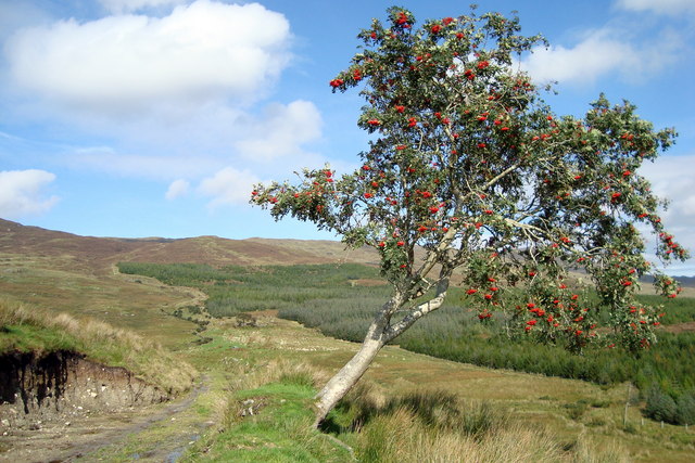
English: Mountain road past Rowan Tree: Tullytrasna At the edge of the forest in the distance is a ruined farm (seen on the map at the top edge of the square), from which children in 1960's walked to and fro each day to be schooled at Lettermore 971128, a distance of roughly 8 miles a day. |
| Date | |
| Source | From geograph.org.uk |
| Author | louise price |
| Attribution (required by the license) | louise price / Mountain road past Rowan Tree: Tullytrasna / |
| Camera location | | View this and other nearby images on: OpenStreetMap |
|---|
_heading:22.00&language=en)
| Object location | | View this and other nearby images on: OpenStreetMap |
|---|
_heading:22.00&language=en)
Licensing
[edit]

|
This image was taken from the Geograph project collection. See this photograph's page on the Geograph website for the photographer's contact details. The copyright on this image is owned by louise price and is licensed for reuse under the Creative Commons Attribution-ShareAlike 2.0 license.
|
This file is licensed under the Creative Commons Attribution-Share Alike 2.0 Generic license.
Attribution: louise price
- You are free:
- to share – to copy, distribute and transmit the work
- to remix – to adapt the work
- Under the following conditions:
- attribution – You must give appropriate credit, provide a link to the license, and indicate if changes were made. You may do so in any reasonable manner, but not in any way that suggests the licensor endorses you or your use.
- share alike – If you remix, transform, or build upon the material, you must distribute your contributions under the same or compatible license as the original.
File history
Click on a date/time to view the file as it appeared at that time.
| Date/Time | Thumbnail | Dimensions | User | Comment | |
|---|---|---|---|---|---|
| current | 20:55, 22 February 2011 | | 640 × 427 (100 KB) | GeographBot (talk | contribs) | == {{int:filedesc}} == {{Information |description={{en|1=Mountain road past Rowan Tree: Tullytrasna At the edge of the forest in the distance is a ruined farm (seen on the map at the top edge of the square), from which children in 1960's walked to and fro |
You cannot overwrite this file.
File usage on Commons
There are no pages that use this file.