File:Map - DPLA - 4eef151dc8628485eb08bf942471fe02 (page 1).jpg
Jump to navigation
Jump to search

Size of this preview: 800 × 269 pixels. Other resolutions: 320 × 108 pixels | 640 × 215 pixels | 1,024 × 345 pixels | 1,280 × 431 pixels | 2,560 × 861 pixels | 11,412 × 3,840 pixels.
Original file (11,412 × 3,840 pixels, file size: 4.59 MB, MIME type: image/jpeg)
Captions
Captions
Add a one-line explanation of what this file represents

If the thumbnail on the right side is in the correct orientation, please just purge this image (maybe refresh your browser cache) and remove this template.

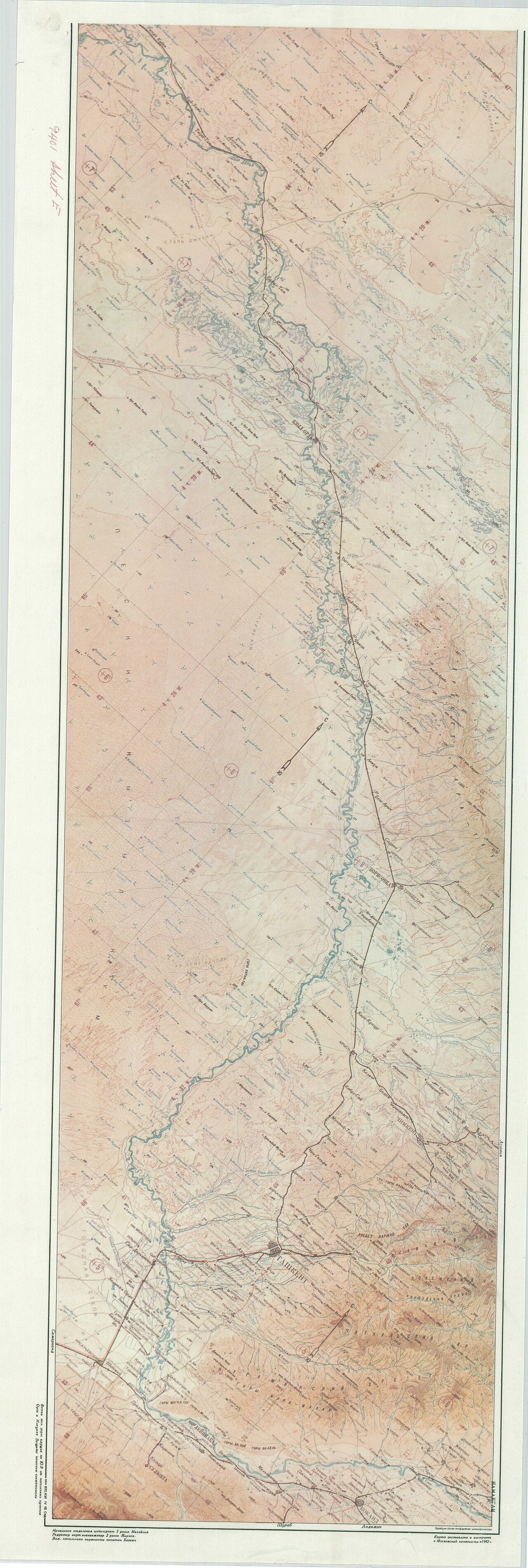
Summary[edit]
| Map
( |
||||||||||||||
|---|---|---|---|---|---|---|---|---|---|---|---|---|---|---|
| Author |
Central Intelligence Agency |
|||||||||||||
| Creator | Central Intelligence Agency. 12/4/1981 | |||||||||||||
| Title |
Map |
|||||||||||||
| Description |
Map not in English. |
|||||||||||||
| Date | 1943 | |||||||||||||
| Collection |
|
|||||||||||||
| Source/Photographer |
|
|||||||||||||
| Permission (Reusing this file) |
|
|||||||||||||
| Standardized rights statement |
|
|||||||||||||

.jpg&action=purge)
.jpg&action=edit§ion=1)
File history
Click on a date/time to view the file as it appeared at that time.
| Date/Time | Thumbnail | Dimensions | User | Comment | |
|---|---|---|---|---|---|
| current | 20:45, 9 November 2022 | 11,412 × 3,840 (4.59 MB) | DPLA bot (talk | contribs) | Uploading DPLA ID 4eef151dc8628485eb08bf942471fe02 |
You cannot overwrite this file.
File usage on Commons
The following page uses this file:
.jpg)
.jpg&oldid=878346481)