File:Litho.- Karte, aus Schliebens Atlas von Europa, Prov. Sachsen. Reg. Bez. 3. Erfurt. um 1830, 19,5 x 26.jpg
Jump to navigation
Jump to search

Size of this preview: 780 × 599 pixels. Other resolutions: 312 × 240 pixels | 625 × 480 pixels | 1,000 × 768 pixels | 1,280 × 984 pixels | 2,362 × 1,815 pixels.
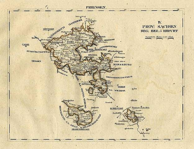
Original file (2,362 × 1,815 pixels, file size: 300 KB, MIME type: image/jpeg)
Captions
Captions
Add a one-line explanation of what this file represents
Summary[edit]
| Description |
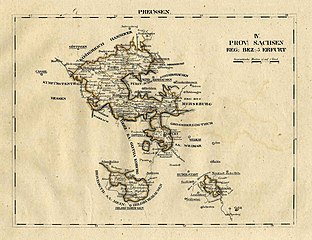
Deutsch: Litho.- Karte, aus Schliebens Atlas von Europa, Prov. Sachsen. Reg. Bez. 3. Erfurt. um 1830, 19,5 x 26 |
| Date | |
| Source | https://www.abebooks.com/servlet/BookDetailsPL?bi=22680042424 |
| Author | Schlieben |
Licensing[edit]
|
This work is in the public domain in its country of origin and other countries and areas where the copyright term is the author's life plus 70 years or fewer. This work is in the public domain in the United States because it was published (or registered with the U.S. Copyright Office) before January 1, 1929. | |
| This file has been identified as being free of known restrictions under copyright law, including all related and neighboring rights. | |
File history
Click on a date/time to view the file as it appeared at that time.
| Date/Time | Thumbnail | Dimensions | User | Comment | |
|---|---|---|---|---|---|
| current | 16:02, 1 February 2022 | | 2,362 × 1,815 (300 KB) | Elmar Nolte (talk | contribs) | Uploaded a work by Schlieben from https://www.abebooks.com/servlet/BookDetailsPL?bi=22680042424 with UploadWizard |
You cannot overwrite this file.
File usage on Commons
There are no pages that use this file.
File usage on other wikis
The following other wikis use this file:
- Usage on de.wikipedia.org