File:Illustrasjon til Atlas Novus sive Tabulæ Geographicæ Totius Orbis Faciem, fra ca 1750.png
Jump to navigation
Jump to search
Size of this preview: 400 × 599 pixels. Other resolutions: 160 × 240 pixels | 321 × 480 pixels | 513 × 768 pixels | 684 × 1,024 pixels | 1,368 × 2,048 pixels | 2,884 × 4,316 pixels.
Original file (2,884 × 4,316 pixels, file size: 29.06 MB, MIME type: image/png)
Captions
Captions
Add a one-line explanation of what this file represents
Summary[edit]
| Description |
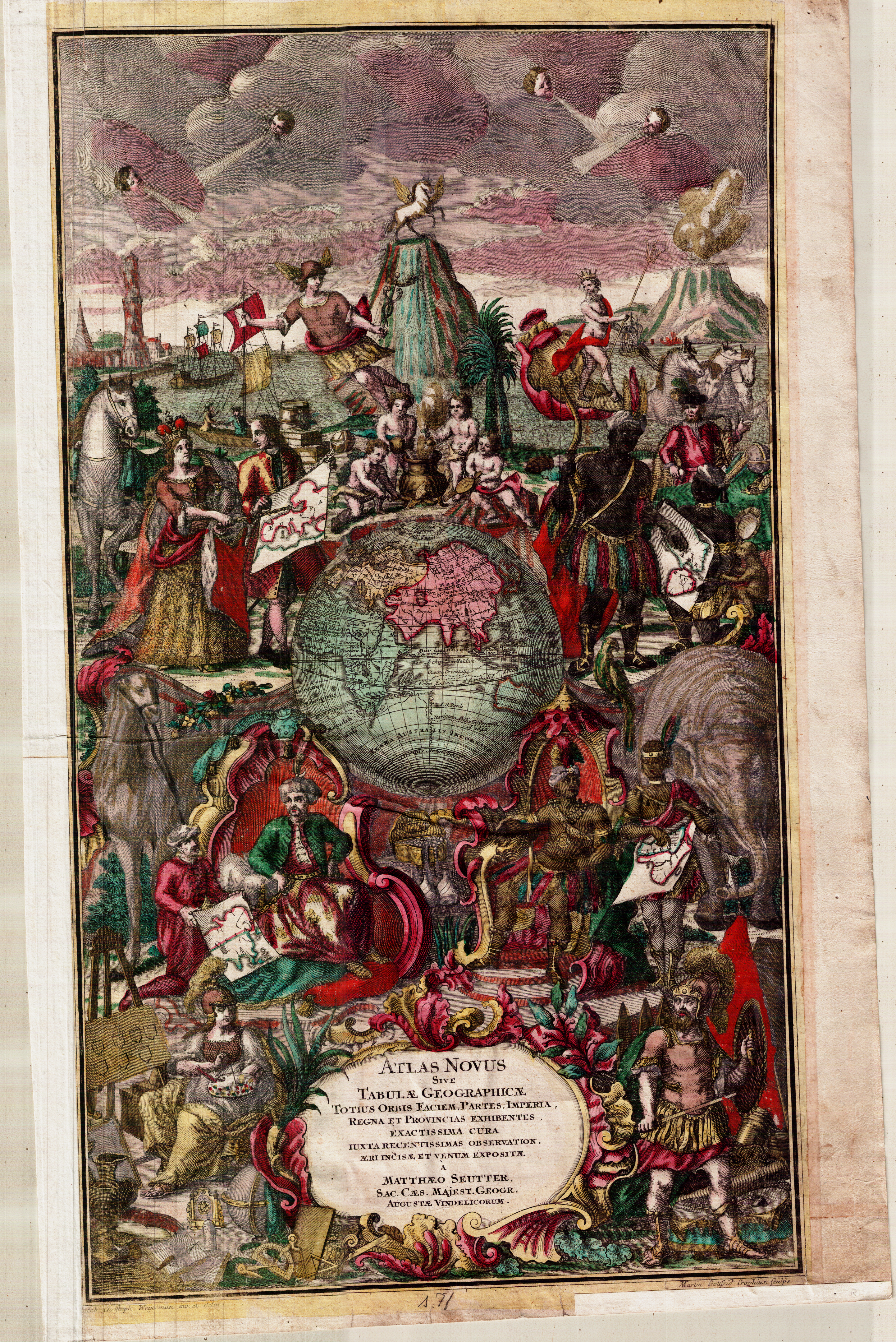
Norsk bokmål: Illustrasjon til "Atlas Novus sive Tabulæ Geographicæ Totius Orbis Faciem", av Matthew Seutter. Nøyaktig årstall er ikke oppgitt, men illustrasjonen kan trolig dateres til rundt 1750. Illustrasjonen er trykket med kobberstikk og håndkolorert. Original bildestørrelse ca 35 x 52 cm. Et eksemplar befinner seg hos Statens kartverk Sjø i Stavanger. |
| Date | circa 1750 |
| Source | Statens kartverk Sjø |
| Author | Matthew Seutter |
Licensing[edit]
|
This work is in the public domain in its country of origin and other countries and areas where the copyright term is the author's life plus 100 years or fewer. | |
| This file has been identified as being free of known restrictions under copyright law, including all related and neighboring rights. | |
File history
Click on a date/time to view the file as it appeared at that time.
| Date/Time | Thumbnail | Dimensions | User | Comment | |
|---|---|---|---|---|---|
| current | 08:09, 8 August 2011 | | 2,884 × 4,316 (29.06 MB) | Kcita (talk | contribs) | {{Information |Description ={{no|1=Illustrasjon til "Atlas Novus sive Tabulæ Geographicæ Totius Orbis Faciem", av Matthew Seutter. Nøyaktig årstall er ikke oppgitt, men illustrasjonen kan trolig dateres til rundt 1750. Illustrasjonen er trykket med |
You cannot overwrite this file.
File usage on Commons
There are no pages that use this file.