File:Gotthard-Gruppe.png
Jump to navigation
Jump to search
Size of this preview: 800 × 524 pixels. Other resolutions: 320 × 210 pixels | 640 × 419 pixels | 1,024 × 671 pixels | 1,280 × 839 pixels | 1,995 × 1,307 pixels.
Original file (1,995 × 1,307 pixels, file size: 1.08 MB, MIME type: image/png)
Captions
Captions
Add a one-line explanation of what this file represents
| Description |
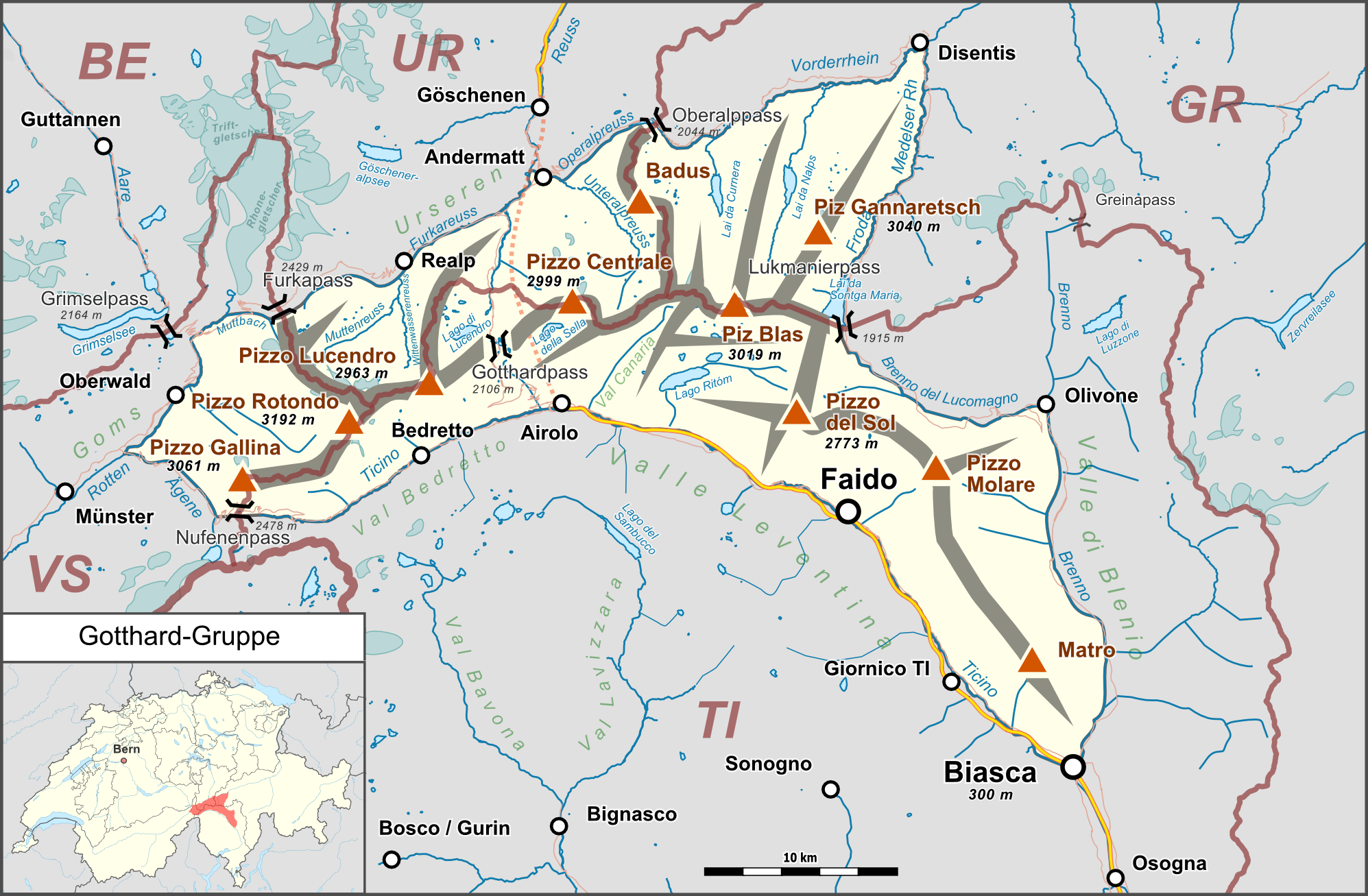
Deutsch: Lagekarte der Gotthard-Gruppe. |
| Date | |
| Source |
Own work Map was created using:
|
| Author | |
| Permission (Reusing this file) |
Map data (c) OpenStreetMap (and) contributors, CC-BY-SA |
This file is licensed under the Creative Commons Attribution-Share Alike 2.0 Generic license.
- You are free:
- to share – to copy, distribute and transmit the work
- to remix – to adapt the work
- Under the following conditions:
- attribution – You must give appropriate credit, provide a link to the license, and indicate if changes were made. You may do so in any reasonable manner, but not in any way that suggests the licensor endorses you or your use.
- share alike – If you remix, transform, or build upon the material, you must distribute your contributions under the same or compatible license as the original.
File history
Click on a date/time to view the file as it appeared at that time.
| Date/Time | Thumbnail | Dimensions | User | Comment | |
|---|---|---|---|---|---|
| current | 22:42, 25 February 2015 | | 1,995 × 1,307 (1.08 MB) | Pechristener (talk | contribs) | nachgebessert gem Disk in KW |
| 21:25, 16 February 2015 |  | 1,995 × 1,307 (1.06 MB) | Pechristener (talk | contribs) | Kantonsgrenzen besser, Abk der Kantone hinzu | |
| 17:15, 14 February 2015 |  | 1,995 × 1,307 (1.05 MB) | Pechristener (talk | contribs) | Lage von Münster korrigiert | |
| 16:36, 14 February 2015 |  | 1,995 × 1,307 (1.05 MB) | Pechristener (talk | contribs) | Landesgrenze eingefügt | |
| 01:58, 14 February 2015 |  | 1,995 × 1,307 (1.05 MB) | Pechristener (talk | contribs) | Rahmen etwas erweitert. | |
| 01:52, 14 February 2015 |  | 1,995 × 1,261 (1.03 MB) | Pechristener (talk | contribs) | {{Information |Description={{de|1=Lagekarte der Gotthard-Gruppe}} |Source ={{own}} Map was created using: *[http://www.openstreetmap.org/ Open Street Map] *[[:File:Switzerland location map.svg|Switzerland location ma... |
You cannot overwrite this file.
File usage on Commons
The following 2 pages use this file:
File usage on other wikis
The following other wikis use this file:
- Usage on als.wikipedia.org
- Usage on arz.wikipedia.org
- Usage on bg.wikipedia.org
- Usage on de.wikipedia.org
- Gotthardmassiv
- Rotondohütte
- Gurschenfirn
- Diskussion:Gotthardpass
- Tomasee
- Rossbodenstock
- Badus
- Diskussion:Tomasee
- Gotthardreuss
- Unteralpreuss
- Oberalpreuss
- Pizzo Rotondo
- Pizzo Gallina
- Witenwasserenstock
- Maighelshütte
- Badushütte
- Piz Alv (Gotthardmassiv)
- Pizzo Centrale
- Giübin
- Benutzer Diskussion:Pechristener/Archiv/1
- Gotthard-Gruppe
- Vorlage:Positionskarte Gotthard-Gruppe
- Pizzo Erra
- Pianca Bella
- Cogn
- Pizzo Pianché
- Croce di Sasso
- Matro
- Benutzer:FkMohr/Baustelle/Test
- Wikipedia:Kartenwerkstatt/Archiv/Zurückgewiesene und zurückgestellte Aufträge 2016
- Gemsstock
- Fibbia
- Pizzo dell’Uomo (2685 m)
- Pizzo dell’Uomo (2662 m)
- Liste der Gebirgsgruppen in den Westalpen
- Wikipedia:Projekt WikiAlpenforum (WAF)/Artikelwunsch Alpenverein/Capanna Gorda
- Benutzer:FkMohr/Baustelle/Poskarte
- Passo dei Sabbioni
- Usage on en.wikipedia.org
- Usage on es.wikipedia.org
- Usage on fr.wikipedia.org
- Usage on it.wikipedia.org
- Usage on no.wikipedia.org
- Usage on pl.wikipedia.org
- Usage on sv.wikipedia.org
- Usage on uk.wikipedia.org
- Usage on vec.wikipedia.org
View more global usage of this file.