File:Farms at Butterwick.jpg
Jump to navigation
Jump to search

Size of this preview: 800 × 450 pixels. Other resolutions: 320 × 180 pixels | 640 × 360 pixels | 1,024 × 575 pixels | 1,280 × 719 pixels | 2,560 × 1,439 pixels | 4,000 × 2,248 pixels.
Original file (4,000 × 2,248 pixels, file size: 2.8 MB, MIME type: image/jpeg)
Captions
Captions
Add a one-line explanation of what this file represents
Summary
[edit]
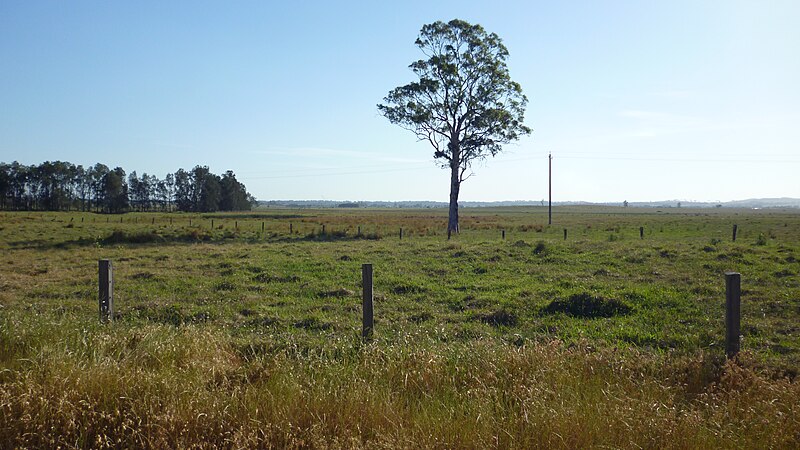
| Description | Farm land to the west of Butterwick Road in Butterwick, New South Wales. Approximately half-way between the stand of trees to the left, and the single tree in the centre of the image, is Woodville. Machinery in the distance is at the Dunmore Bridge over the Paterson River. |
| Date | |
| Source | Own work |
| Author | AussieLegend |
| Camera location | | View this and other nearby images on: OpenStreetMap |
|---|
Licensing
[edit]
| I, the copyright holder of this work, release this work into the public domain. This applies worldwide. In some countries this may not be legally possible; if so: I grant anyone the right to use this work for any purpose, without any conditions, unless such conditions are required by law. |
File history
Click on a date/time to view the file as it appeared at that time.
| Date/Time | Thumbnail | Dimensions | User | Comment | |
|---|---|---|---|---|---|
| current | 21:45, 21 October 2012 | | 4,000 × 2,248 (2.8 MB) | AussieLegend (talk | contribs) | == {{int:filedesc}} == {{Information |description = Farm land to the west of Butterwick Road in Butterwick, New South Wales looking east. |date = 2012-10-20 |source = {{ow... |
You cannot overwrite this file.
File usage on Commons
There are no pages that use this file.