File:Europe w asia n africa.jpg

Original file (2,305 × 1,863 pixels, file size: 850 KB, MIME type: image/jpeg)
Captions
Captions
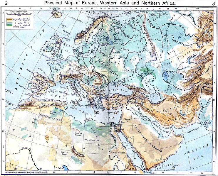
{[ew|en|Wirya}} A historical Physical Map of Europe, Western Asia and Northern Africa by William R. Shepherd, New York, Henry Holt and Company, 1926. Map from: [1], in Public Domain
![[1]](http://www.lib.utexas.edu/maps/historical/shepherd/europe_w_asia_n_africa.jpg)
|
This work is in the public domain in its country of origin and other countries and areas where the copyright term is the author's life plus 70 years or fewer.
| |
| This file has been identified as being free of known restrictions under copyright law, including all related and neighboring rights. | |
File history
Click on a date/time to view the file as it appeared at that time.
| Date/Time | Thumbnail | Dimensions | User | Comment | |
|---|---|---|---|---|---|
| current | 13:12, 6 December 2009 | | 2,305 × 1,863 (850 KB) | Alex:D (talk | contribs) | colors |
| 14:25, 6 September 2009 |  | 2,305 × 1,863 (644 KB) | Qorilla (talk | contribs) | colors | |
| 14:53, 3 December 2006 |  | 2,305 × 1,863 (641 KB) | Electionworld (talk | contribs) | {[ew|en|Wirya}} A historical Physical Map of Europe, Western Asia and Northern Africa by William R. Shepherd, New York, Henry Holt and Company, 1926. Map from: [http://www.lib.utexas.edu/maps/historical/shepherd/europe_w_asia_n_africa.jpg], in Public Doma |
You cannot overwrite this file.
File usage on Commons
The following page uses this file:
File usage on other wikis
The following other wikis use this file:
- Usage on ba.wikipedia.org
- Usage on en.wikipedia.org
- Usage on fr.wikipedia.org
- Usage on he.wikipedia.org
- מטאורולוגיה
- מדבר
- שפך נהר
- נחל
- יבשת
- מדעי האטמוספירה
- מצר ים
- זרם ים
- נהר
- אוקיינוגרפיה
- מפרץ
- קלימטולוגיה
- אוקיינוס
- ים
- אי
- חצי אי
- גאוגרפיה פיזית - מונחים
- טקטוניקת הלוחות
- גובה פני הים
- ארכיפלג
- אגם
- קרקע
- נווה מדבר
- מצר יבשה
- דלתה
- תבנית:גאוגרפיה פיזית
- אטול
- גאומורפולוגיה
- חולית (גאוגרפיה)
- סוואנה
- אוקיינוגרפיה פיזיקלית
- הידרולוגיה
- מעיין
- ערבה (גאוגרפיה)
- הידרוגרפיה
- פלאוקלימטולוגיה
- גאוגרפיה פיזית
- יובל (נהר)
- אבן חוף
- בליה חופית
- בליה ביולוגית
- חולות נודדים
- אוקיינוגרפיה כימית
- מוצא (גאוגרפיה)
- מפרצון
View more global usage of this file.