File:ESA Stadtplan am Bachhaus-Museum.jpg
Jump to navigation
Jump to search
Size of this preview: 450 × 600 pixels. Other resolutions: 180 × 240 pixels | 360 × 480 pixels | 576 × 768 pixels | 768 × 1,024 pixels | 1,932 × 2,576 pixels.
Original file (1,932 × 2,576 pixels, file size: 2.7 MB, MIME type: image/jpeg)
Captions
Captions
Add a one-line explanation of what this file represents
Summary[edit]
| Description |
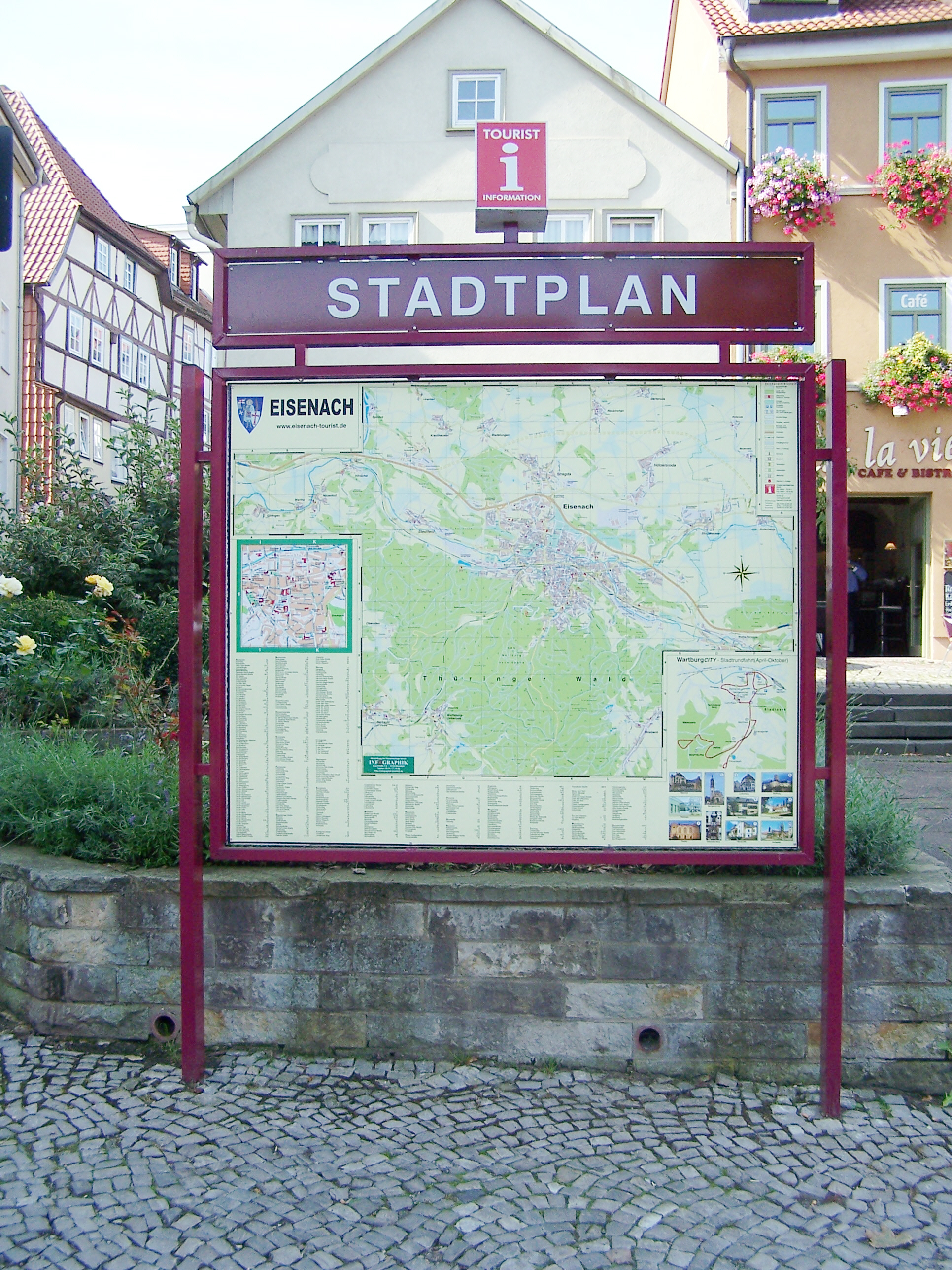
Deutsch: Ein detaillierter Stadtplan am Frauenplan (Parkplatz am Bachhaus). |
| Date | |
| Source | Own work |
| Author | Metilsteiner |
Gleichartige Stadtpläne befinden sich auch in der Kasseler Straße, in der Gothaer Straße und der Langensalzaer Straße an den Hauptzufahrtsstraßen in die Stadt. Der Plan entspricht im Format den handelsüblichen Kartenmaterial.
Licensing[edit]
I, the copyright holder of this work, hereby publish it under the following license:
This file is licensed under the Creative Commons Attribution 3.0 Unported license.
- You are free:
- to share – to copy, distribute and transmit the work
- to remix – to adapt the work
- Under the following conditions:
- attribution – You must give appropriate credit, provide a link to the license, and indicate if changes were made. You may do so in any reasonable manner, but not in any way that suggests the licensor endorses you or your use.
File history
Click on a date/time to view the file as it appeared at that time.
| Date/Time | Thumbnail | Dimensions | User | Comment | |
|---|---|---|---|---|---|
| current | 20:39, 19 September 2011 | | 1,932 × 2,576 (2.7 MB) | Metilsteiner (talk | contribs) | {{Information |Description ={{de|1=Ein detaillierter Stadtplan am Frauenberg (Parkplatz am Bachhaus). }} |Source ={{own}} |Author =Metilsteiner |Date =2011-09-16 |Permission = |other_versions = }} Gle |
You cannot overwrite this file.
File usage on Commons
There are no pages that use this file.