File:Dry landscape with schist rocks.jpg
Jump to navigation
Jump to search

Size of this preview: 800 × 450 pixels. Other resolutions: 320 × 180 pixels | 640 × 360 pixels | 1,024 × 576 pixels | 1,280 × 720 pixels | 2,560 × 1,440 pixels | 5,120 × 2,880 pixels.
Original file (5,120 × 2,880 pixels, file size: 6.42 MB, MIME type: image/jpeg)
Captions
Captions
Add a one-line explanation of what this file represents
Summary[edit]
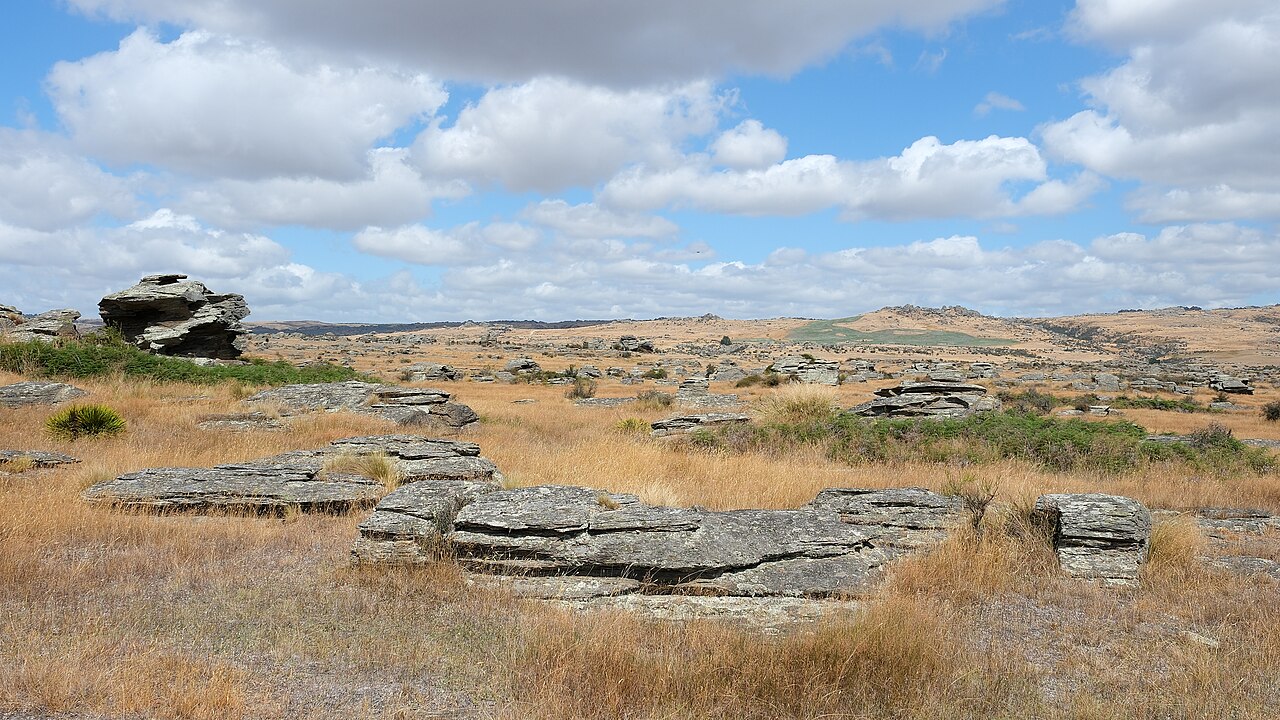
| Description | Dry landscape with schist rocks near Sutton Salt Lake (along the loop walk) |
| Date | |
| Source | Own work |
| Author | Pseudopanax at English Wikipedia |
| Camera location | | View this and other nearby images on: OpenStreetMap |
|---|
Licensing[edit]
| I, the copyright holder of this work, release this work into the public domain. This applies worldwide. In some countries this may not be legally possible; if so: I grant anyone the right to use this work for any purpose, without any conditions, unless such conditions are required by law. |
File history
Click on a date/time to view the file as it appeared at that time.
| Date/Time | Thumbnail | Dimensions | User | Comment | |
|---|---|---|---|---|---|
| current | 02:29, 10 October 2023 | | 5,120 × 2,880 (6.42 MB) | Pseudopanax (talk | contribs) | == {{int:filedesc}} == {{Information |Description=Dry landscape with schist rocks near Sutton Salt Lake (along the loop walk) |Source={{Own}} |Date=2023-02-15 |Author={{user at project|Pseudopanax|wikipedia|en}} }} {{location|45|34|22.8|S|170|5|3.7|E}} == {{int:license-header}} == {{PD-self}} Category:Schist formations in New Zealand Category:Strath Taieri Category:Landscapes of New Zealand Category:Rocky landscapes |
You cannot overwrite this file.
File usage on Commons
There are no pages that use this file.