File:Deutschland Besatzungszonen 1945.png
Jump to navigation
Jump to search
No higher resolution available.
Deutschland_Besatzungszonen_1945.png (464 × 599 pixels, file size: 52 KB, MIME type: image/png)
Captions
Captions
Add a one-line explanation of what this file represents
Summary[edit]

|
File:Deutschland Besatzungszonen 1945.svg is a vector version of this file. It should be used in place of this PNG file when not inferior.
File:Deutschland Besatzungszonen 1945.png → File:Deutschland Besatzungszonen 1945.svg
For more information, see Help:SVG. |
 |
Licensing[edit]

|
Permission is granted to copy, distribute and/or modify this document under the terms of the GNU Free Documentation License, Version 1.2 or any later version published by the Free Software Foundation; with no Invariant Sections, no Front-Cover Texts, and no Back-Cover Texts. A copy of the license is included in the section entitled GNU Free Documentation License. |
| This file is licensed under the Creative Commons Attribution-Share Alike 3.0 Unported license. | ||
| ||
| This licensing tag was added to this file as part of the GFDL licensing update. |
Image history[edit]
- 11:44, 31. Okt 2005 . . WikiNight (Diskussion) . . 500 x 646 (26760 Byte) (+Landkreis Lindau korr.)
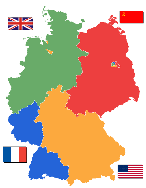
- 19:09, 20. Sep 2005 . . WikiNight (Diskussion) . . 500 x 646 (26810 Byte) (Karte von 1945, bevor die Besatzungszonen in Länder unterteilt wurden. Karte mit Ländern unter Deutschland_Besatzungszonen_1945_1946.png)
- 13:21, 20. Sep 2005 . . WikiNight (Diskussion) . . 500 x 646 (26532 Byte) (Saarland 1945 noch Teil der fr.BZ)
- 20:03, 16. Sep 2005 . . WikiNight (Diskussion) . . 500 x 646 (26575 Byte) (Bisherige Besatzungszone war bei Saarland nicht zu erkennen und bei Bremen Falsch. Karte selbst gezeichnet. Flaggen von Wikipedia reinkopiert {{GFDL}})
File history
Click on a date/time to view the file as it appeared at that time.
| Date/Time | Thumbnail | Dimensions | User | Comment | |
|---|---|---|---|---|---|
| current | 13:07, 2 September 2006 | | 464 × 599 (52 KB) | Wereon (talk | contribs) | US flag of 1945 only had 48 stars |
| 10:07, 1 January 2006 |  | 464 × 599 (58 KB) | W-j-s (talk | contribs) | == Beschreibung, Quelle und Lizenz == Flaggen aus Wikipedia Karte gezeichnet von User DE:WikiNight Versionsgeschichte siehe http://de.wikipedia.org/wiki/Bild:Deutschland_Besatzungszonen_1945.png == Lizenz == {{Bild-GFDL}} |
You cannot overwrite this file.
File usage on Commons
The following page uses this file:
File usage on other wikis
The following other wikis use this file:
- Usage on als.wikipedia.org
- Usage on da.wikipedia.org
- Usage on de.wikipedia.org