File:Crowfoot Mountain and Glacier.jpg
Jump to navigation
Jump to search

Size of this preview: 800 × 377 pixels. Other resolutions: 320 × 151 pixels | 640 × 302 pixels | 1,024 × 483 pixels | 1,280 × 603 pixels | 2,560 × 1,206 pixels | 7,708 × 3,632 pixels.
Original file (7,708 × 3,632 pixels, file size: 15.18 MB, MIME type: image/jpeg)
Captions
Captions
Add a one-line explanation of what this file represents
Summary
[edit]
| Description |
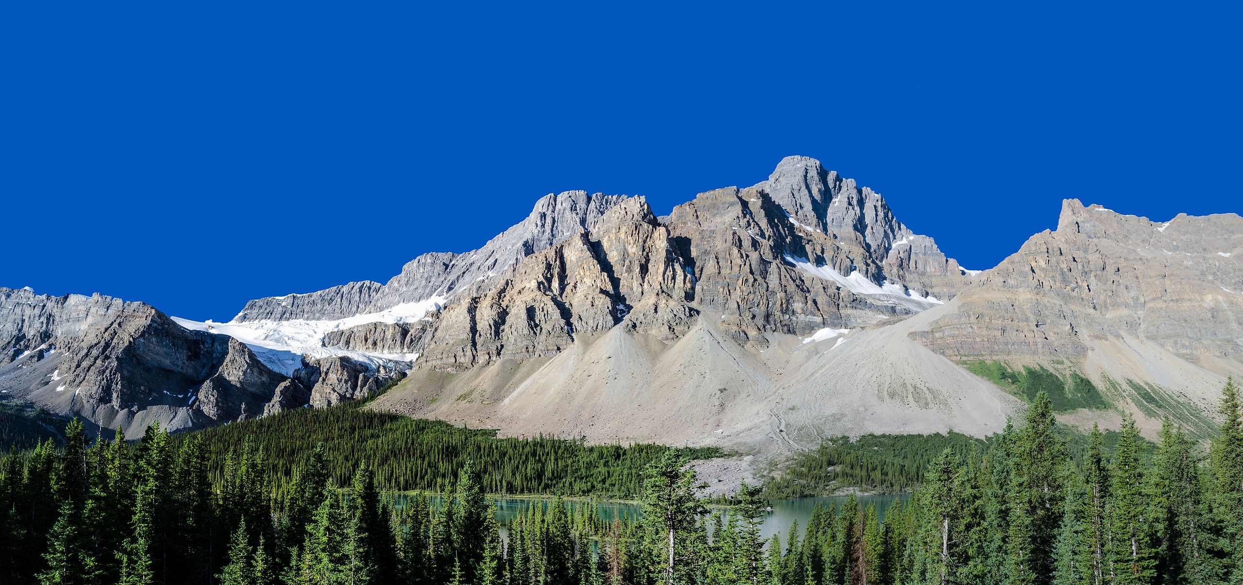
English: Crowfoot Mountain and Glacier near Icefields Parkway, Alberta, Canada Deutsch: Crowfoot Mountain und Glacier in der Nähe des Icefields Parkway, Alberta Kanada |
| Date | |
| Source | Own work |
| Author | Florian Fuchs |
| Other versions |
 |
| Camera location | | View this and other nearby images on: OpenStreetMap |
|---|
| This is a retouched picture, which means that it has been digitally altered from its original version. Modifications: This panorama has been stitched using Photoshop. Modifications made by Florian Fuchs.
|
Licensing
[edit]
I, the copyright holder of this work, hereby publish it under the following license:
This file is licensed under the Creative Commons Attribution 3.0 Unported license.
Attribution: Florian Fuchs
- You are free:
- to share – to copy, distribute and transmit the work
- to remix – to adapt the work
- Under the following conditions:
- attribution – You must give appropriate credit, provide a link to the license, and indicate if changes were made. You may do so in any reasonable manner, but not in any way that suggests the licensor endorses you or your use.
| Annotations | This image is annotated: View the annotations at Commons |

|
This image has been assessed under the valued image criteria and is considered the most valued image on Commons within the scope: Crowfoot Glacier. You can see its nomination here. |
This image has been assessed using the Quality image guidelines and is considered a Quality image.
|
File history
Click on a date/time to view the file as it appeared at that time.
| Date/Time | Thumbnail | Dimensions | User | Comment | |
|---|---|---|---|---|---|
| current | 11:37, 20 October 2012 | | 7,708 × 3,632 (15.18 MB) | Florian Fuchs (talk | contribs) | corrected some problems with the sky |
| 09:21, 20 October 2012 |  | 7,708 × 3,632 (14.5 MB) | Florian Fuchs (talk | contribs) | prior resolution | |
| 08:20, 20 October 2012 | 7,733 × 3,185 (13.92 MB) | Florian Fuchs (talk | contribs) | removed double line and bad crop | ||
| 05:12, 20 October 2012 |  | 7,649 × 3,617 (13.65 MB) | Florian Fuchs (talk | contribs) | complete revised version to reduce jagged edges | |
| 14:05, 18 October 2012 |  | 7,732 × 3,632 (16.7 MB) | Florian Fuchs (talk | contribs) | reduced sharpening again | |
| 15:58, 17 October 2012 |  | 7,732 × 3,632 (16.79 MB) | Florian Fuchs (talk | contribs) | less sharpening | |
| 18:42, 11 October 2012 |  | 7,732 × 3,632 (18.35 MB) | Florian Fuchs (talk | contribs) | User created page with UploadWizard |
You cannot overwrite this file.
File usage on Commons
The following 8 pages use this file:
- User:Florian Fuchs
- User talk:Florian Fuchs
- Commons:Quality images/Subject/Places/Natural structures/Panorama/Archive 2008 to 2015
- Commons:Quality images candidates/Archives November 2012
- Commons:Quality images candidates/Archives October 2012
- Commons:Valued image candidates/Crowfoot Mountain and Glacier.jpg
- Commons:Valued images by topic/Places/Natural/Mountain sites
- File:Bow Lake beim Icefields Parkway.jpg
File usage on other wikis
The following other wikis use this file:
- Usage on de.wikipedia.org
- Usage on en.wikipedia.org
- Usage on fr.wikipedia.org
- Usage on he.wikipedia.org
- Usage on ru.wikipedia.org