File:Corpo Truppe Volontarie 57.jpg
Jump to navigation
Jump to search

Size of this preview: 800 × 216 pixels. Other resolutions: 320 × 86 pixels | 640 × 173 pixels | 1,024 × 276 pixels | 1,280 × 345 pixels | 2,560 × 691 pixels | 9,984 × 2,694 pixels.
Original file (9,984 × 2,694 pixels, file size: 9.76 MB, MIME type: image/jpeg)
Captions
Captions
Add a one-line explanation of what this file represents
Summary[edit]
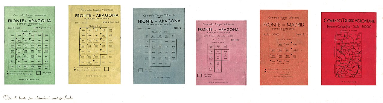
| Description | Portadas de los mapas de los frentes de guerra en la Guerra Civil Española, a escala 1:200.000, publicados por el Instituto Geográfico Militar italiano, para el Corpo Truppe Volontarie | |||||
| Date | between 1937 and 1938 | |||||
| Source | La Sezione Topocartografica dell'Istituto Geografico Militare in terra di Spagna con il Corpo Truppe Volontarie (1939) | |||||
| Author | Unknown author | |||||
| Permission (Reusing this file) |
|


File history
Click on a date/time to view the file as it appeared at that time.
| Date/Time | Thumbnail | Dimensions | User | Comment | |
|---|---|---|---|---|---|
| current | 12:37, 17 March 2024 | 9,984 × 2,694 (9.76 MB) | LBM1948 (talk | contribs) | {{Information |Description=Portadas de los mapas de los frentes de guerra en la Guerra Civil Española, a escala 1:200.000, publicados por el Instituto Geográfico Militar italiano, paar el Corpo Truppe Volontarie |Source=La Sezione Topocartografica dell'Istituto Geografico Militare in terra di Spagna con il Corpo Truppe Volontarie (1939) |Date=1937-1938 |Author={{Author|unknown}} |Permission={{PD-anon-70-EU}} |other_versions= }} [[Category:La Sezione Topocartografica dell'Istituto Geografico M... |
You cannot overwrite this file.
File usage on Commons
The following page uses this file: