File:Breitenwald Training Area entrance sign, Landstuhl, Germany, 2023-01-10, TJ 01.jpg
Jump to navigation
Jump to search

Size of this preview: 800 × 531 pixels. Other resolutions: 320 × 212 pixels | 640 × 425 pixels | 1,024 × 679 pixels | 1,280 × 849 pixels | 2,560 × 1,699 pixels | 3,662 × 2,430 pixels.
Original file (3,662 × 2,430 pixels, file size: 2.87 MB, MIME type: image/jpeg)
Captions
Captions
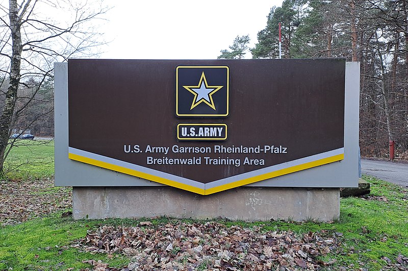
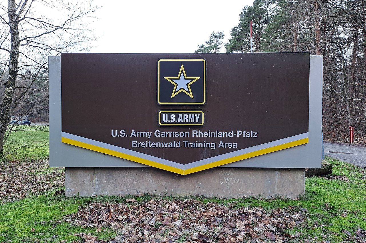
Breitenwald Training Area Entrance Sign
Summary[edit]
| Description |
English: Breitenwald Training Area entrance sign viewed from Landesstrasse 470, Landstuhl, Germany.
Deutsch: Eingangsschild Standortschießanlage Breitenwald, gesehen von der Landesstraße 470, Landstuhl, Deutschland. |
||||||||||||||||
| Taken with | This photo was taken with Samsung Galaxy A33 5G |
||||||||||||||||
| Date | Taken on 10 January 2023 | ||||||||||||||||
| Source | Self-photographed | ||||||||||||||||
| Author |
|
||||||||||||||||
| Permission (Reusing this file) |
Todd Johnson, the copyright holder of this work, hereby publishes it under the following license: This file is licensed under the Creative Commons Attribution-Share Alike 4.0 International license. Attribution: Todd Johnson
|
||||||||||||||||
| Attribution (required by the license) | © Todd Johnson / Wikimedia Commons / | ||||||||||||||||
| Object location | | View this and other nearby images on: OpenStreetMap |
|---|
File history
Click on a date/time to view the file as it appeared at that time.
| Date/Time | Thumbnail | Dimensions | User | Comment | |
|---|---|---|---|---|---|
| current | 22:58, 29 January 2023 | | 3,662 × 2,430 (2.87 MB) | Lieutcoluseng (talk | contribs) | Uploaded own work with UploadWizard |
You cannot overwrite this file.
File usage on Commons
The following 3 pages use this file:
File usage on other wikis
The following other wikis use this file:
- Usage on www.wikidata.org