File:Antiga ER 101 in the valley of Ribeira do Inferno, São Vicente, Madeira, 2023 May.jpg
Jump to navigation
Jump to search

Size of this preview: 800 × 533 pixels. Other resolutions: 320 × 213 pixels | 640 × 426 pixels | 1,024 × 682 pixels | 1,280 × 852 pixels | 2,560 × 1,704 pixels | 4,200 × 2,796 pixels.
Original file (4,200 × 2,796 pixels, file size: 16 MB, MIME type: image/jpeg)
Captions
Captions
Add a one-line explanation of what this file represents
Summary[edit]
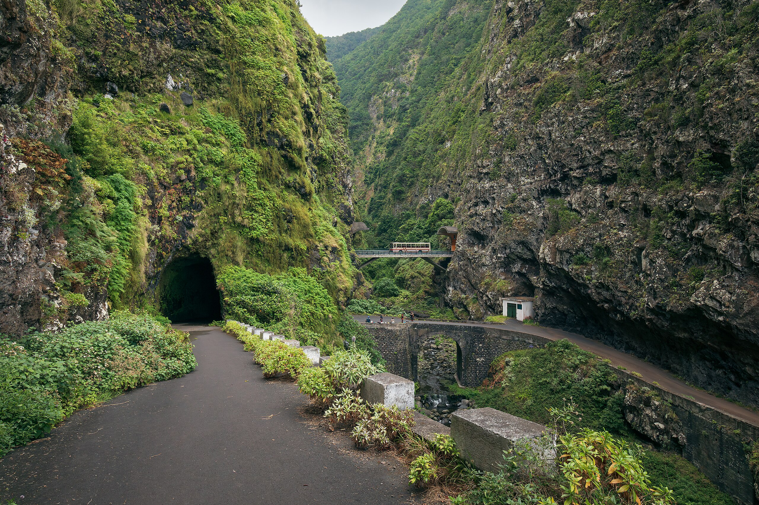
| Description | The old road Antiga ER 101 meandering in the valley of Ribeira do Inferno in São Vicente, Madeira, Portugal in 2023 May. The new road VE 2 crosses the steep valley further back, straight between the tunnels Túnel Ribeira do Inferno and Túnel Água de Alto. |
| Date | |
| Source | Own work |
| Author | Ximonic (Simo Räsänen) |
| Camera location | | View this and other nearby images on: OpenStreetMap |
|---|
This file was uploaded with VicuñaUploader.
Licensing[edit]
This file is licensed under the Creative Commons Attribution-Share Alike 4.0 International license.
Attribution: Simo Räsänen
- You are free:
- to share – to copy, distribute and transmit the work
- to remix – to adapt the work
- Under the following conditions:
- attribution – You must give appropriate credit, provide a link to the license, and indicate if changes were made. You may do so in any reasonable manner, but not in any way that suggests the licensor endorses you or your use.
- share alike – If you remix, transform, or build upon the material, you must distribute your contributions under the same or compatible license as the original.
This image has been assessed using the Quality image guidelines and is considered a Quality image.
|
File history
Click on a date/time to view the file as it appeared at that time.
| Date/Time | Thumbnail | Dimensions | User | Comment | |
|---|---|---|---|---|---|
| current | 19:49, 11 August 2023 | | 4,200 × 2,796 (16 MB) | Ximonic (talk | contribs) | VicuñaUploader 1.3.3a |
You cannot overwrite this file.
File usage on Commons
The following 4 pages use this file: