File:Agricultura no Brasil legenda.png
Jump to navigation
Jump to search
Size of this preview: 620 × 599 pixels. Other resolutions: 248 × 240 pixels | 497 × 480 pixels | 745 × 720 pixels.
Original file (745 × 720 pixels, file size: 205 KB, MIME type: image/png)
Captions
Captions
Add a one-line explanation of what this file represents
Summary[edit]
| Description |
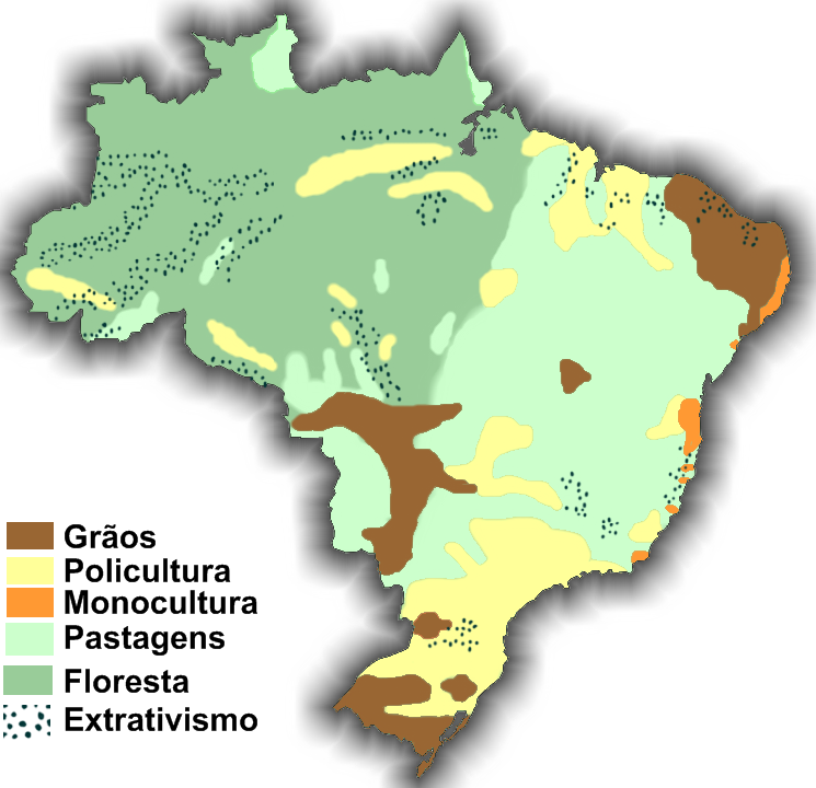
Português: Mapa representativo do uso agrícola no território brasileiro |
|||||||||
| Date | ||||||||||
| Source | My draw | |||||||||
| Creator | ||||||||||
| Geotemporal data | ||||||||||
| Bounding box |
|
|||||||||
| Georeferencing | ||||||||||
| Other versions | File:Agricultura no Brasil.png | |||||||||
Licensing[edit]
| I, the copyright holder of this work, release this work into the public domain. This applies worldwide. In some countries this may not be legally possible; if so: I grant anyone the right to use this work for any purpose, without any conditions, unless such conditions are required by law. |
File history
Click on a date/time to view the file as it appeared at that time.
| Date/Time | Thumbnail | Dimensions | User | Comment | |
|---|---|---|---|---|---|
| current | 20:27, 9 March 2009 | | 745 × 720 (205 KB) | André Koehne (talk | contribs) | {{Information |Description={{pt|Mapa representativo do uso agrícola no território brasileiro}} |Source=My draw |Date=9 de março de 2009 |Author=User:André Koehne |Permission=See below |other_versions= }} Category:Agriculture in Brazil [[Cate |
You cannot overwrite this file.
File usage on Commons
The following page uses this file:
File usage on other wikis
The following other wikis use this file:
- Usage on pt.wikipedia.org