File:800x520-USA-GMT-map-topo-R2.jpg
Jump to navigation
Jump to search
No higher resolution available.
800x520-USA-GMT-map-topo-R2.jpg (800 × 520 pixels, file size: 180 KB, MIME type: image/jpeg)
Captions
Captions
Add a one-line explanation of what this file represents
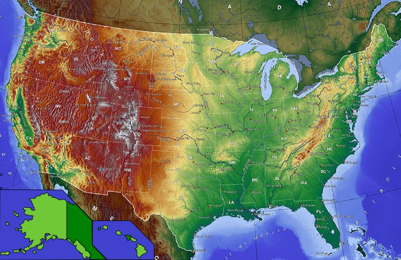
| Description | Carte USA GMT topo Alaska Hawaî | ||||
| Date | Wikisoft* @@@-fr 15:51, 7 December 2010 (UTC) | ||||
| Source | User:Captain BloodUser:Wikisoft* Redimenssionnée et completée pour la géolocalisation | ||||
| Author | Wikisoft* @@@-fr 15:51, 7 December 2010 (UTC) | ||||
| Permission (Reusing this file) |
|
||||
| Other versions | fr:Modèle:Géolocalisation/USA |

File history
Click on a date/time to view the file as it appeared at that time.
| Date/Time | Thumbnail | Dimensions | User | Comment | |
|---|---|---|---|---|---|
| current | 15:51, 7 December 2010 | | 800 × 520 (180 KB) | Wikisoft* (talk | contribs) | {{Information |Description=Carte USA GMT topo Alaska Hawaî |Source=User:Captain BloodUser:Wikisoft* Redimenssionnée et completée pour la géolocalisation |Date=~~~~ |Author=~~~~ |Permission={{GFDL-GMT}} |other_versions=[[:fr:Modèle |
You cannot overwrite this file.
File usage on Commons
There are no pages that use this file.
File usage on other wikis
The following other wikis use this file:
- Usage on fr.wikinews.org
- Usage on ro.wikipedia.org
- Comitat al unui stat al Statelor Unite ale Americii
- Listă de comitate din statul Alabama
- Listă de comitate din statul Carolina de Sud
- Listă de comitate din statul Arkansas
- Listă de comitate din statul Florida
- Listă de comitate din statul Illinois
- Listă de comitate din statul Iowa
- Listă de comitate din statul Kentucky
- Listă de comitate din statul Mississippi
- Listă de comitate din statul Missouri
- Listă de orașe din statul Alabama
- Listă de localități din statul Indiana, SUA
- Listă de orașe din statul Alaska
- Listă de orașe din statul Arkansas
- Listă de orașe din California
- Listă de orașe din statul Connecticut
- Listă de orașe din statul Florida
- Listă de orașe din statul Idaho
- Listă de orașe din statul Illinois
- Listă de orașe din statul Iowa
- Listă de orașe din statul Kansas
- Listă de orașe din statul Kentucky
- Listă de localități din statul Michigan
- Listă de orașe din statul Mississippi
- Listă de orașe din statul Missouri
- Listă de localități din statul New Hampshire
- Listă de orașe din statul Carolina de Nord
- Listă de orașe din statul Dakota de Nord
- Listă de orașe din Ohio
- Listă de orașe din statul Oklahoma
- Listă de localități din statul Oregon
- Listă de orașe din statul Pennsylvania
- Listă de orașe din statul Carolina de Sud
- Listă de orașe din Dakota de Sud
- Listă de orașe din statul Texas
- Listă de orașe din statul Utah
- Listă de orașe din statul Virginia de Vest
- Listă de comitate din statul Oklahoma
- Categorie:Liste de orașe din Statele Unite după stat
- Categorie:Comunități neîncorporate din Statele Unite după stat
- Lista orașelor din statul New Jersey
- Categorie:Liste de comunități neîncorporate din Statele Unite după stat
- Listă de comunități neîncorporate din statul Oklahoma
- Listă de localități dispărute din statul Oklahoma
- Listă de comunități desemnate pentru recensământ din statul Oklahoma
- Listă de localități mici din statul Oklahoma
- Listă de comunități neîncorporate din statul Maryland
- Categorie:Locuri desemnate pentru recensământ din Statele Unite după stat
View more global usage of this file.