File:מחוזות אימרתי.PNG
Jump to navigation
Jump to search

Size of this preview: 800 × 548 pixels. Other resolutions: 320 × 219 pixels | 640 × 439 pixels | 1,024 × 702 pixels | 1,281 × 878 pixels.
Original file (1,281 × 878 pixels, file size: 50 KB, MIME type: image/png)
Captions
Captions
Add a one-line explanation of what this file represents
Summary[edit]
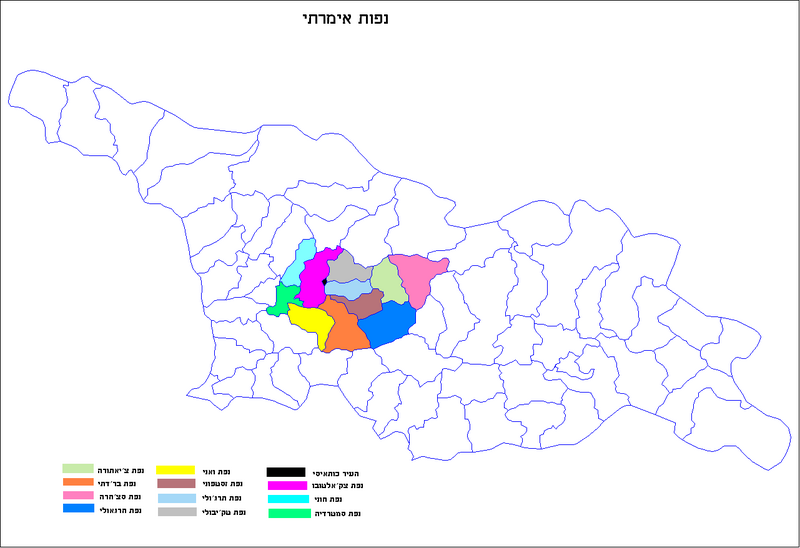
| Description | Map of the districts of the country of Georgia. | ||
| Date | |||
| Source | Own work | ||
| Author | User:geagea according to map Created by Rarelibra | ||
| Permission (Reusing this file) |
|
||
| Other versions |
 |
Licensing[edit]
| This work has been released into the public domain by its author, I, User:geagea. This applies worldwide. In some countries this may not be legally possible; if so: I, User:geagea grants anyone the right to use this work for any purpose, without any conditions, unless such conditions are required by law. |
File history
Click on a date/time to view the file as it appeared at that time.
| Date/Time | Thumbnail | Dimensions | User | Comment | |
|---|---|---|---|---|---|
| current | 02:22, 14 March 2008 | | 1,281 × 878 (50 KB) | Geagea (talk | contribs) | == Summary == {{Information |Description=Map of the districts of the country of Georgia. |Source=self-made |Date=2008 |Author=User:geagea according to map Created by Rarelibra |Permission={{PD-self}} |other_versions=[[Image:Georgia |
You cannot overwrite this file.
File usage on Commons
The following page uses this file:
File usage on other wikis
The following other wikis use this file:
- Usage on he.wikipedia.org